Before 1880s
Rancho San Miguel
Long before San Francisco became a city, the land that would become Forest Knolls was part of Rancho San Miguel — a vast working ranch with 2,000 cattle and 200 horses, stretching across the western hills.
The rancho was owned by Jose Jesus Noe, whose name lives on in nearby Noe Valley. The land was granted to Noe by the Mexican government in 1845 and encompassed much of what is now Twin Peaks and West of Twin Peaks.
It was pastoral, rolling grassland — very different from the forested slopes that would come later. Clarendon Avenue — now one of the neighborhood's main roads — was simply known as Almshouse Road, a dirt track leading to the county poorhouse.
"When Clarendon Avenue was Almshouse Road" — the old name for the main artery into what would become Forest Knolls reveals how radically the landscape has transformed over 150 years.
1880s–1910s
Adolph Sutro's Great Forest
The transformation of the landscape came through one of San Francisco's most colorful characters: Adolph Sutro, who served as mayor from 1894 to 1896. Sutro was a silver mining millionaire, a populist, and an obsessive planter of trees.
Between the 1880s and his death in 1898, Sutro planted roughly 11,000 acres of eucalyptus, pine, and cypress across his San Francisco landholdings — an act of deliberate environmental transformation that turned bare grassland into dense, atmospheric forest.
The area that would become Forest Knolls was part of this vast planting project. After Sutro's death, much of his land was eventually acquired by UCSF. The eucalyptus forest on Mount Sutro — what we now call the Sutro Cloud Forest — is among the last remnants of his original planting.
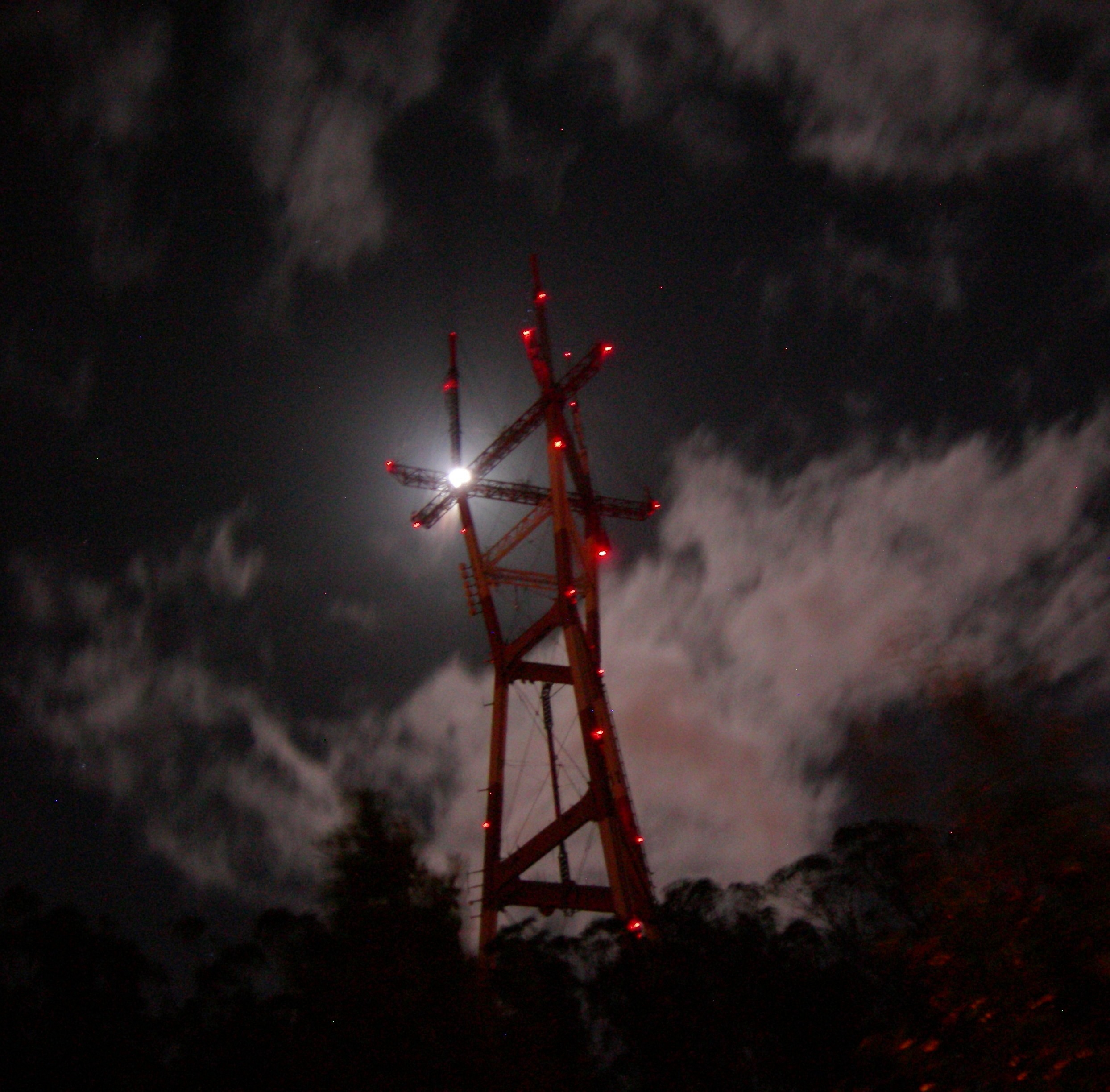
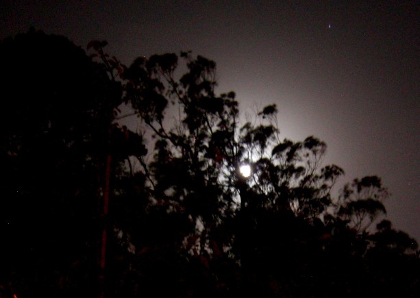
📷 Sutro Tower with November moon
Run download-images.sh to fetch photos
Sutro Tower rising above the eucalyptus canopy · November moon · forestknolls.info
1950s–1960s
The Neighborhood is Built
Forest Knolls was built in the late 1950s and early 1960s — the same era and development wave that produced neighboring Midtown Terrace, built beginning in 1953 by the Standard Building Company (the Gellert brothers, Carl and Fred) on 150 acres of the Twin Peaks western slopes.
The approach to development followed the "City Beautiful" concepts of earlier SF neighborhoods: curving streets that followed the hillside contours, emphasis on views, and integration with the natural surroundings. Trees were cleared from the Sutro Forest to create building sites — first for Midtown Terrace, then for Forest Knolls.
Some of today's residents are the original owners of these homes. The neighborhood's curving, interconnected streets — Glenhaven Lane, Oak Park Drive, Crestmont Drive — give it a planned, coherent character that holds together despite the steep topography.
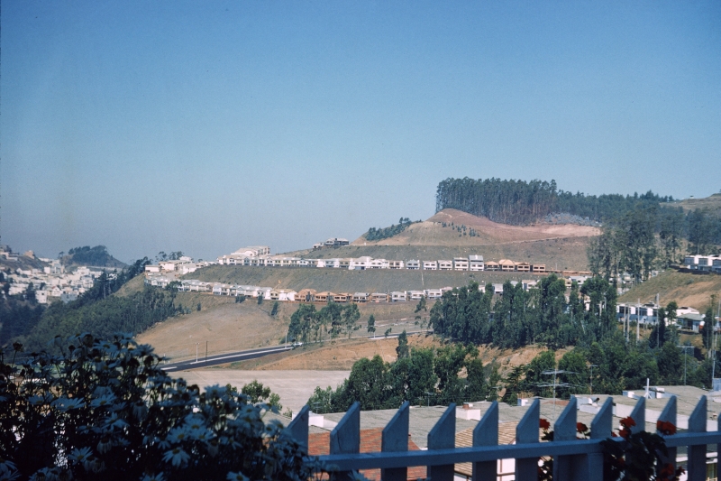
📷 Early Forest Knolls construction, late 1950s
Earl & Connie Martin collection · forestknolls.info
Run download-images.sh to fetch
Construction underway in the late 1950s — Photo: Earl & Connie Martin collection
"It is fortunate that despite the pressure to build and expand, there were those individuals who had the foresight to preserve portions of the area in an undeveloped state. In large measure, it is proximity to these preserved areas that gives neighborhoods such as Forest Knolls their unique character and beauty."
The Neighborhood
Forest Knolls, Then and Now
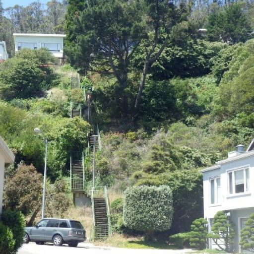
📷 Glenhaven Lane
Run download-images.sh
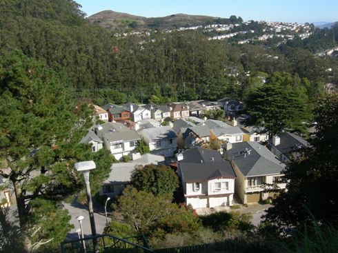
📷 Neighborhood overview
Run download-images.sh
Left: Glenhaven Lane · Right: Neighborhood overview — forestknolls.info
Forest Knolls remains a primarily residential neighborhood of about 3,200 people. The core tensions of recent history involve the expansion of UCSF's Parnassus and Aldea campuses — proposals that would increase building density and potentially reduce tree cover in the eucalyptus forest that defines the neighborhood's character.
The Forest Knolls Neighborhood Organization (FKNO) continues to advocate for residents' interests on these questions.